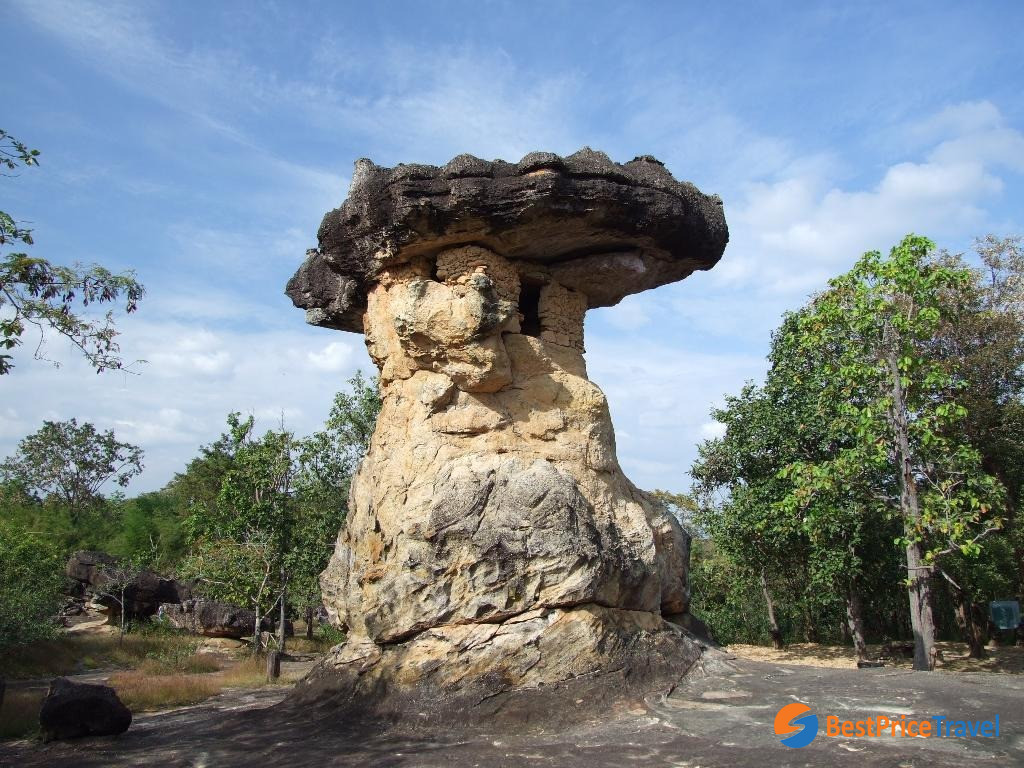
Phu Phra Bat
Named after two Buddha footprints carved into rocks in the Lan Xang style, the park is located at a disconnected sandstone hill at the eastern edge of the Phu Phan mountains. The hill tops at 352 m above sea level, and extends 9 km in north-south direction and 2 km in east-west direction. Three major kinds of forest are found at the hill - dry dipterocarp forest at the foothills, mixed deciduous forest in the plain surrounding the hill, and dry evergreen forest on
Phu Phra Bat
The park covers an area of 13 km² of the Pa Kua Num Forest Reserve. It was officially gazetted 20 February 1996. 5.4 km² of the area form the Phu Phrabat historical park, which was established in 1981, covering the 81 cultural sites on the hill at the rock outcrops.
The forest park together with the historical park are on the tentative list of future world heritage sites since 2004.